The Hike: Starting from the parking area, you have two choices. The trail takes you across the creek. However, if the creek is high, or you don't want to wade, the other option is to go around it by walking across the Highway 16 bridge (the High Bridge) to the other side. Once there, you can follow a deep path around to the other side of the creek to intersect the main trail. It's a little longer, but if you don't feel comfortable rock-hopping, you can do this route. The high bridge trail slowly switchbacks up the ridge to the ponds at the top. Rather than being an old ranch or fire road, this trail was actually designed and built as a trail, so it is not very steep and is nice and narrow as a trail should be. In fact, it is such a shallow gradient, that I hadn't noticed how high we were until the return trip, looking down on the parking area. Once you hit the first couple ponds, you'll have choices as to where to go. One trip we have taken takes you past the cattail-lined swimming pond, on the small ridge behind the pond, to the edge of Brophy Canyon, then cross-country back to the main portion of the high bridge trail. Be sure to bring a GPS or compass so you don't get lost. Since the trails don't get a ton of use, sometimes they seem to disappear into the grassland, rather than remain bare dirt. Such is the price of few people, and a price I'm willing to pay for solitude. Distance: As shown in the .gpx file, the loop trip is 8 to 10 miles, depending on if you do the full loop, or choose your own path. Remember, the High Bridge trail takes you into the heart of the area, so you can choose to use it as a jumping off point to many other trails. |
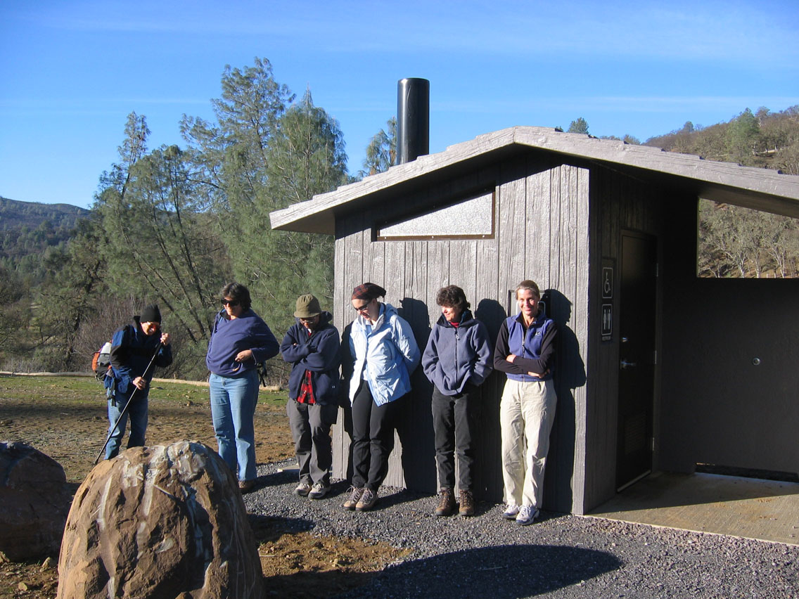
How to get there: From Yolo county, Woodland and Davis, take Highway 16 through the Capay Valley. Drive up Highway 16 through the Capay valley. Pass the town of Rumsey and continue up the highway. You'll pass Yolo County's three park sites, then cross the county line into Colusa County. Approximately three miles after crossing the County line, you'll come to the first bridge over Bear Creek. Pull into the parking area, which is on the left. Be on the lookout, since it comes up quick, and if you cross the bridge over Bear Creek, you've gone too far. The parking area has a restroom. |
| Photos | |||
 |
 |
||
 |
 |
||
 |
 |
||
 |
|||
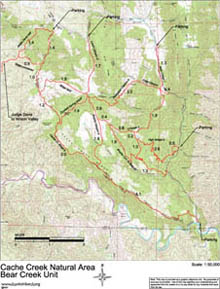
| Map with trail route highlighted (.pdf file) |
 |
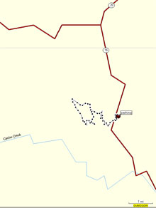
GPS track of trail route only (.gpx format) |
 |
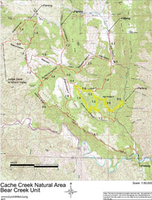
| Map of Cache Creek Natural Area - Bear Creek Unit (.pdf file) |
 |
GPS track (.gpx format) Contains all tracks in the Bear Creek Unit of the Cache Creek Natural Area. |
 |